Waterkaarten
Delivering a smarter way to navigate Europe’s waterways
Creating a future-ready sailing companion
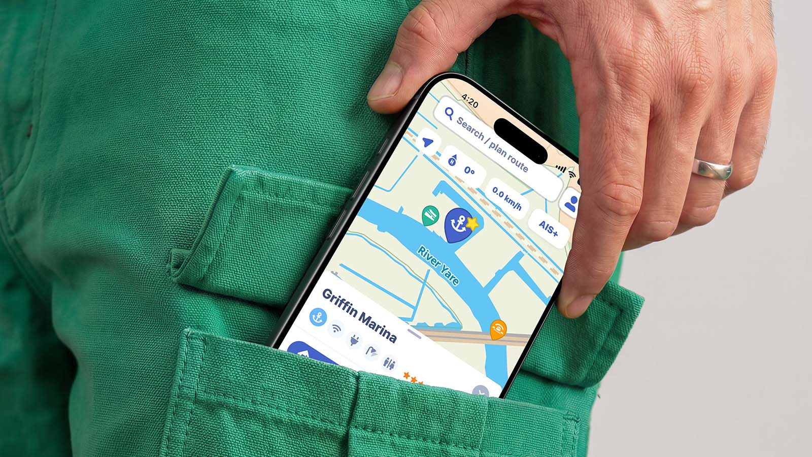
Waterkaarten is a digital waterways navigation app designed for boaters and skippers in Europe. Trusted by over 130,000 skippers annually, the app provides comprehensive, offline-capable nautical charts, real-time AIS, and route-planning features across 12 European countries.
The app provides up-to-date digital water maps, sailing information and navigation tools to help users stay safe on the water. Apadmi has partnered with the ANWB on Waterkaarten since 2011, and in 2018 took full ownership of its development to help shape the app’s next chapter.
With deep mobile expertise and an agile approach, Apadmi took over the existing codebase, redesigned the app based on user research, and created a roadmap to build on its strengths while improving the overall experience.
To support long-term growth, we developed a clear service strategy across four areas: business modelling, product development, product marketing and customer support.
The team introduced new subscription models, used data and experimentation to guide decisions, and continued improving the app with a focus on speed, stability and user needs. By analysing how people use Waterkaarten and gathering direct feedback, we’ve helped shape a product that continues to evolve with its audience.
Our Product Marketing team uses analytics, A/B testing, targeted campaigns and marketing automation to attract and retain users. Alongside this, we built a dedicated support operation with specialist tooling and a scalable team to support Waterkaarten’s growing community.
Key Features
Built around the needs of modern sailors, Waterkaarten brings together navigation, real-time vessel data and essential on-water information in one easy-to-use app.
Extensive Coverage
Nautical maps for 12 countries, including the UK, Ireland, the Netherlands, Belgium, France, and Germany.
Route Planning
You can calculate optimal routes based on your boat’s specific dimensions (draught, width, and vertical clearance) to avoid bridges or channels you cannot pass.
AIS+ Integration
Allows you to see other vessels on the water, view their speed and course, or pair external AIS hardware directly with your device.
Almanac Information
Access real-time data on over 3,500 marinas, including facility details, contact information, and operating hours for bridges and locks.
Offline Use
Download maps and route data to use while on the water without requiring an active internet connection.
Read more success stories
From retail and healthcare to FMCG and media, we help ambitious organisations solve complex challenges, drive revenue, and build loyalty with exceptional digital products and mobile apps.